
Ashley Gorge Via Ferrata
Phase 2 Routes Now OpenExplore the Routes, Sectors and features
Discover the trails, cable routes, canyon traverses, bridges and climbing features that make Ashley Gorge Via Ferrata one of Utah’s most distinctive outdoor adventures.
Multiple Sectors
Connected routes throughout Ashley Gorge
Beginner to Advanced
Options for different ability and comfort levels
Public Access
Open to properly equipped visitors who complete the required steps
Multiple Sectors
Choose the experience that matches your preparation

THE BIG PICTURE
One Via Ferrata, Multiple Ways to Explore
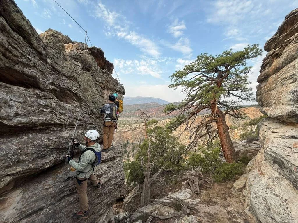
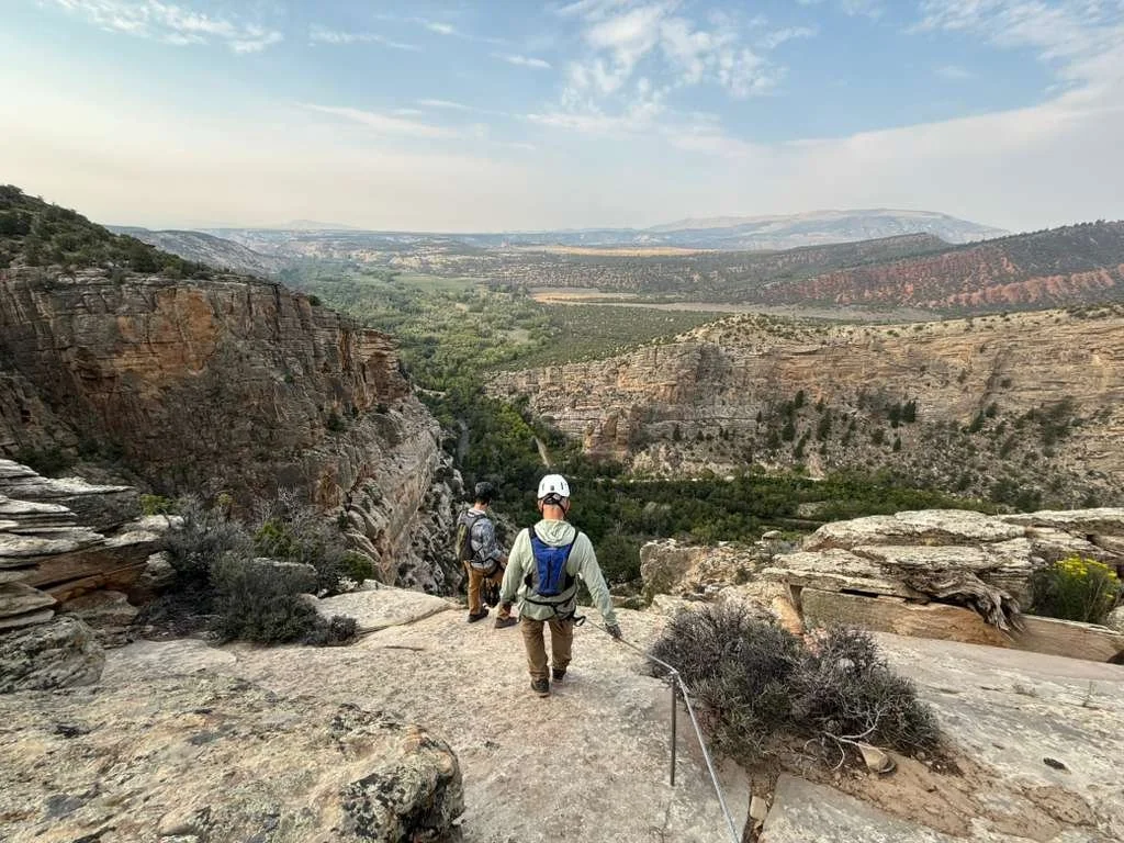
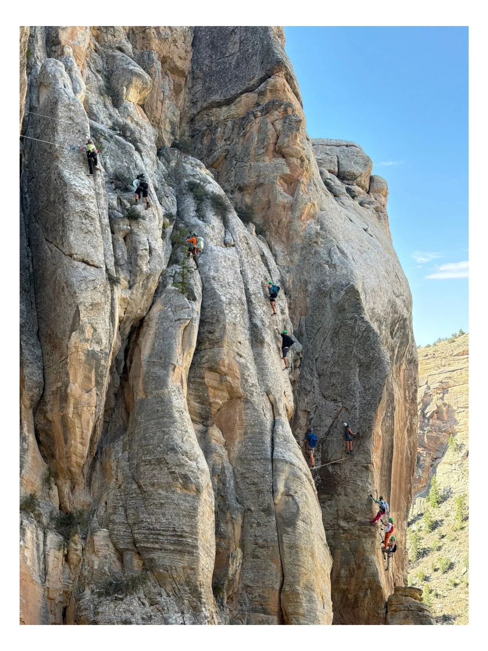
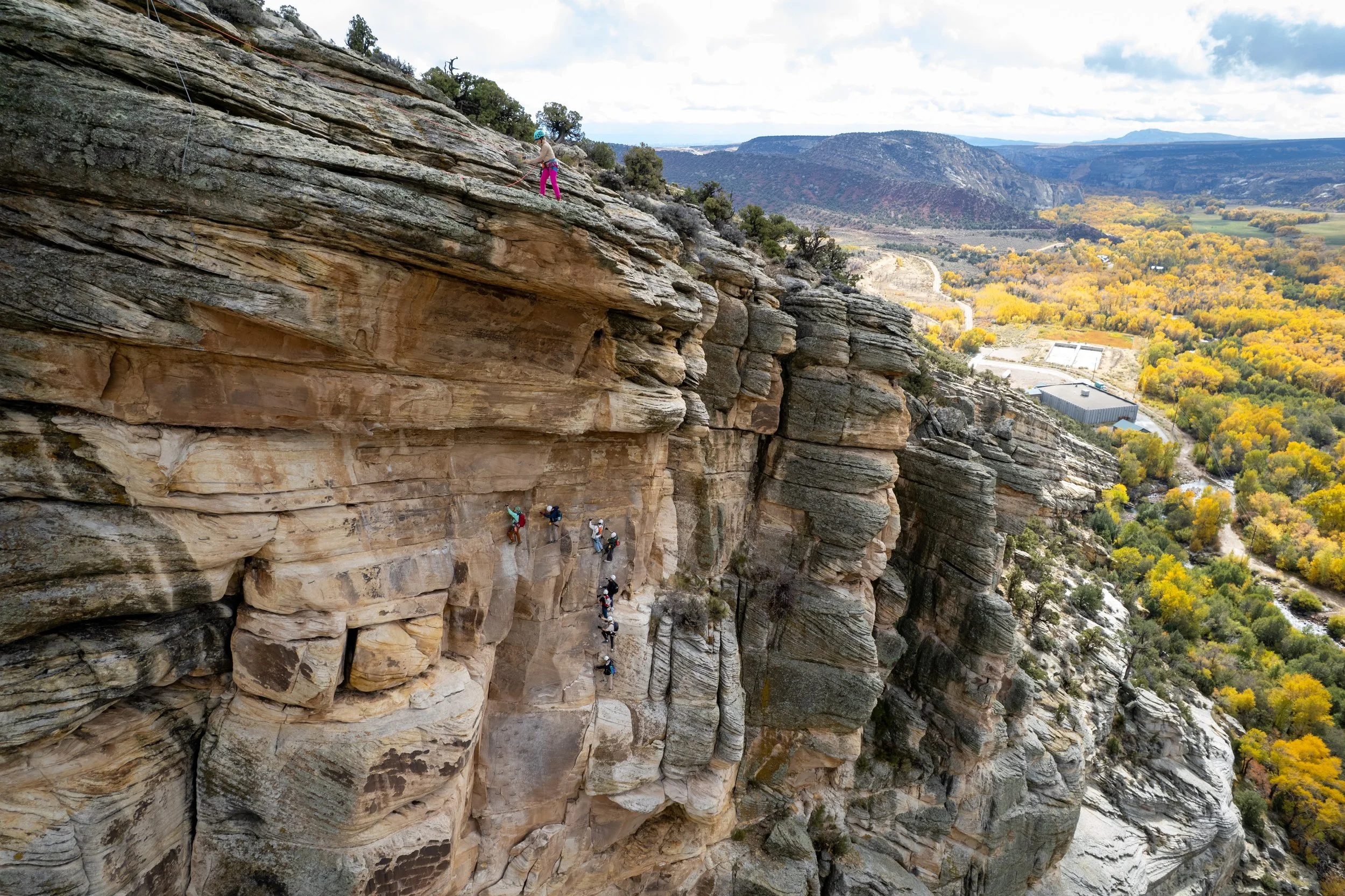
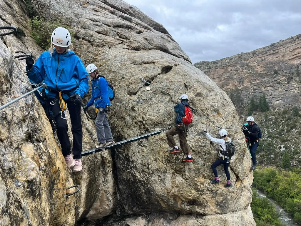
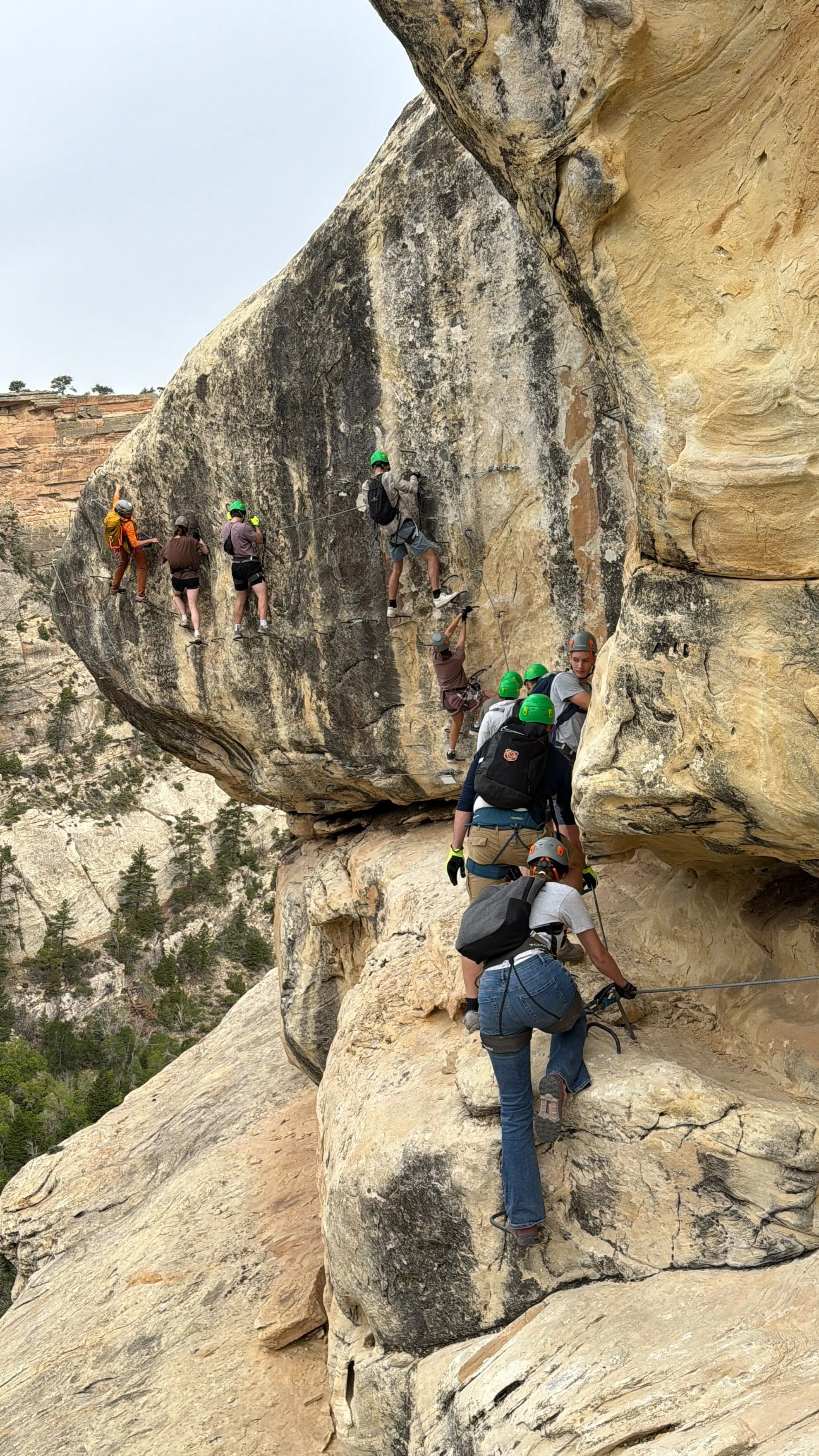
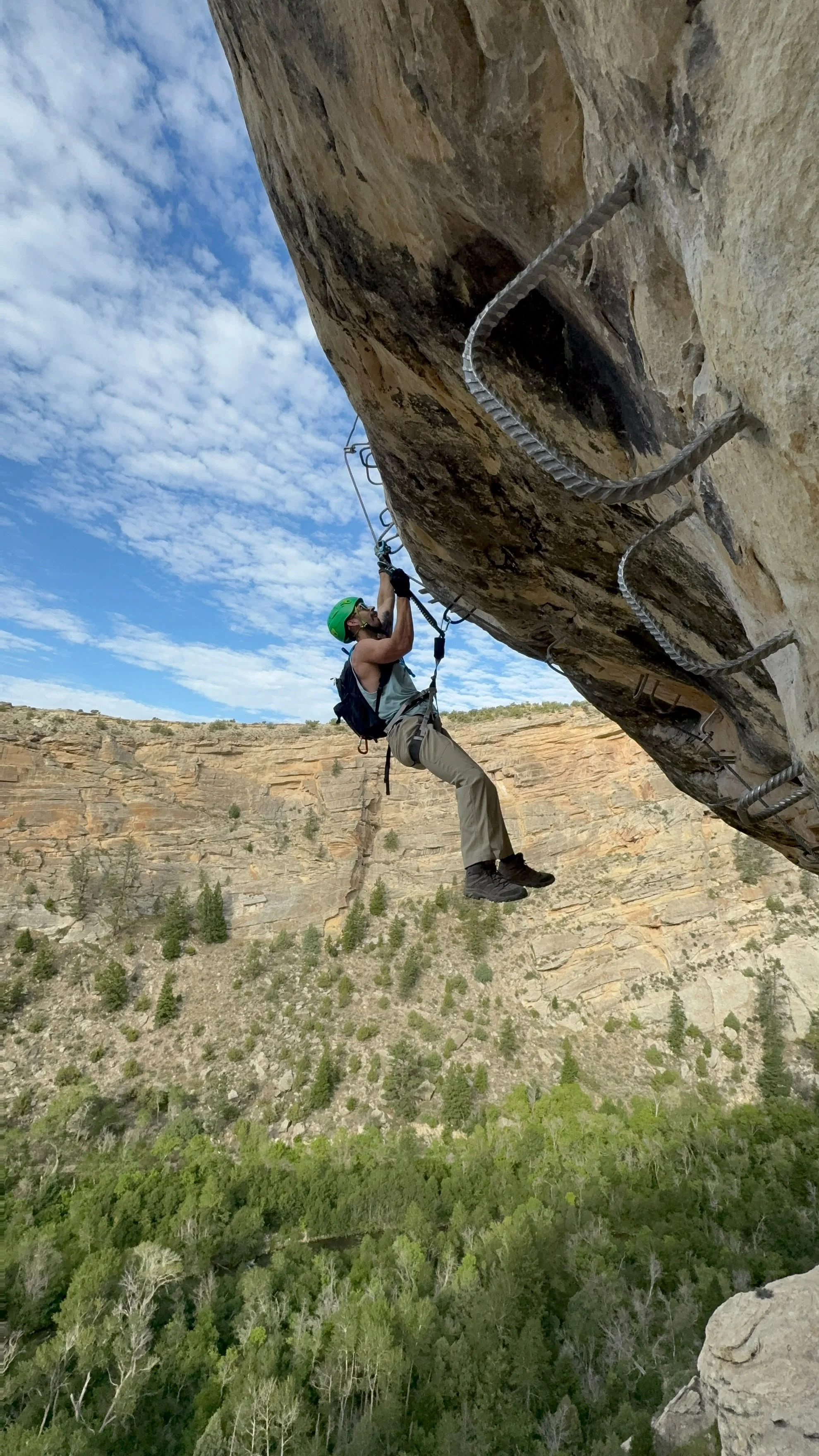
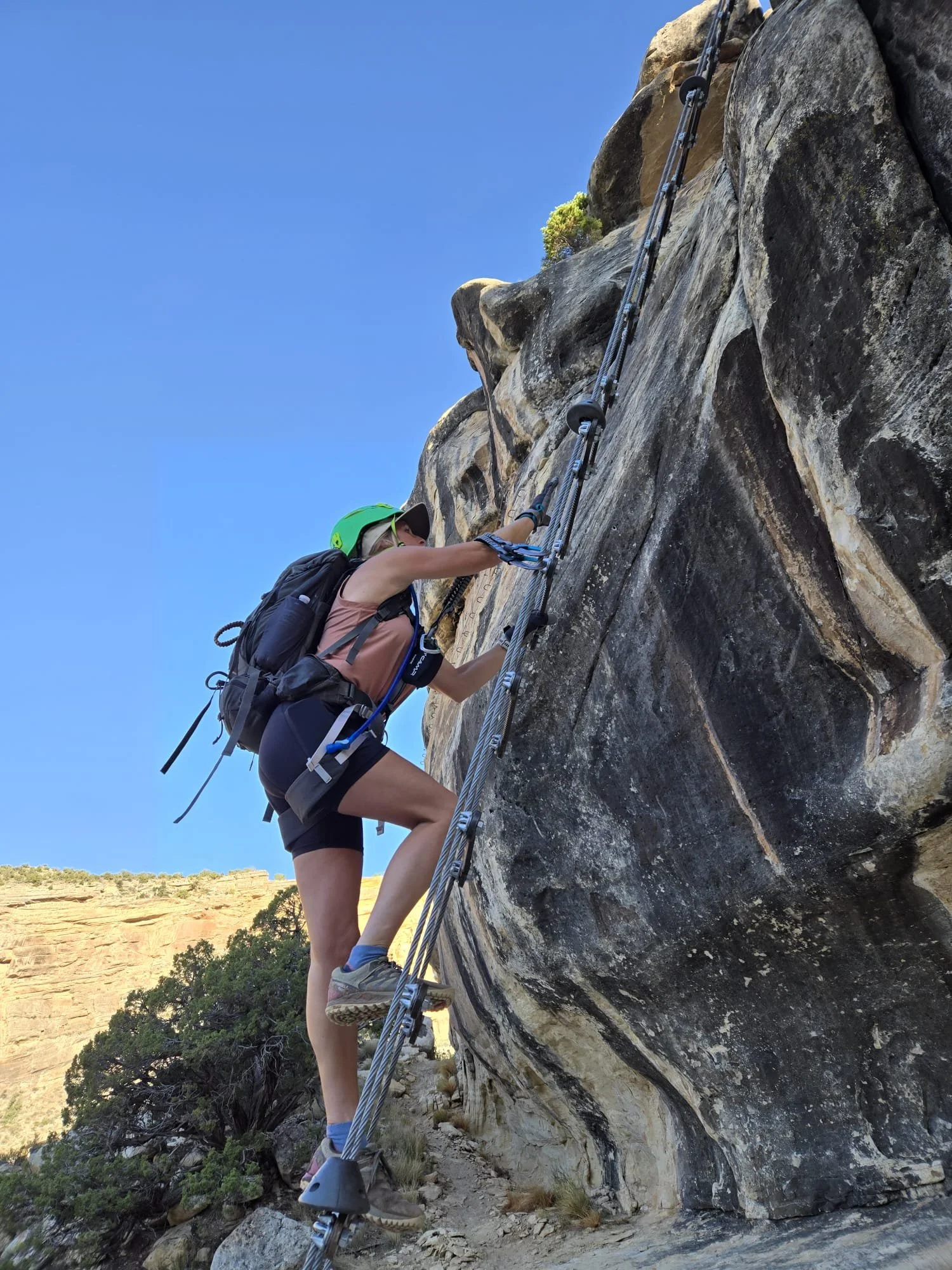
The Ashley Gorge Via Ferrata is made up of trails, cabled sectors, bridges, traverses, chimneys, and route variations woven through a dramatic canyon setting. The system gives visitors multiple route variations depending on their preparation and goals.
This page provides the broad overview of what's here and how it all connects. Individual route pages go deeper into each specific area — its character, what to expect, and how it fits into the larger system. Use the map and route cards below to plan your day.
See the Entire Ashley Gorge Via Ferrata
ROUTE OVERVIEW

Use the full map in conjunction with the section maps to understand how the approach, sectors, routes, river, bridges, exits and connecting trails fit together.
Route information, access conditions and project details may change. Review current safety and access information before visiting.
Click each photo to open a high quality version
you can download or save to photos
for reference during your climb.


FIND YOUR WAY
Explore the Via Ferrata by Route or Feature
Select a route, sector, trail or feature to see a closer overview, important characteristics and what to expect.
Sectors
-
![Climber practicing carabiner transfers on the Ashley Gorge Via Ferrata Practice Area near Vernal, Utah.]()
PA. Practice Area
A short introductory section where climbers can practice using their equipment and moving through cable transitions before entering the main route.
-
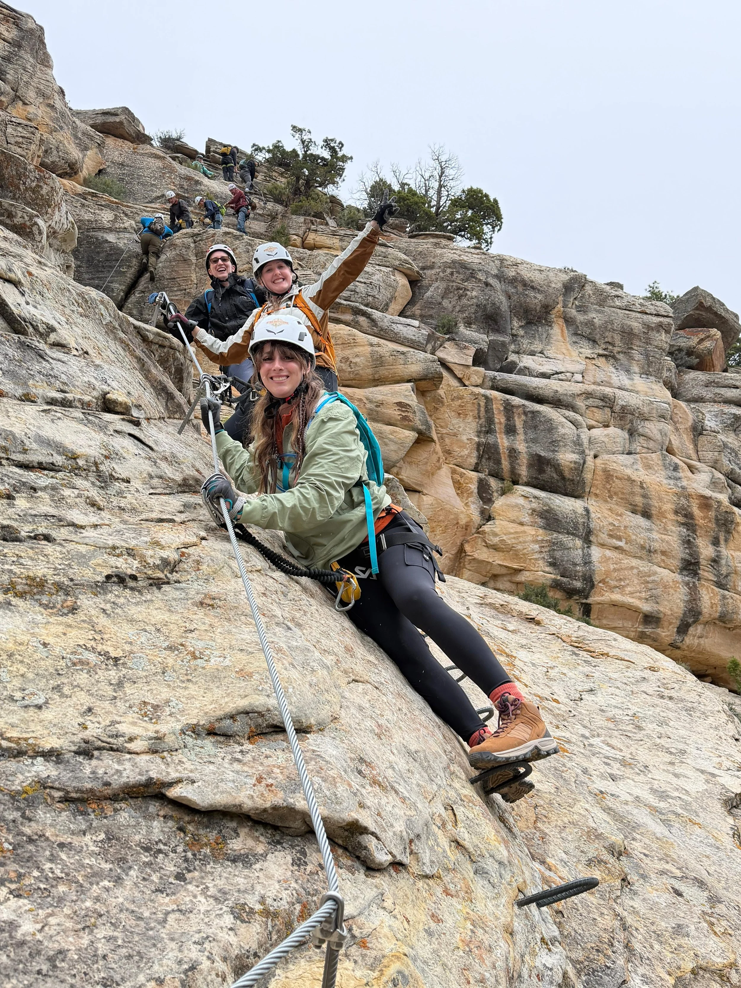
![Via ferrata climber connected to the fixed cable while downclimbing Outlaw.]()
1. Outlaw
A bidirectional descent from the canyon rim into Ashley Gorge that serves as the primary entrance to the original route system.
-
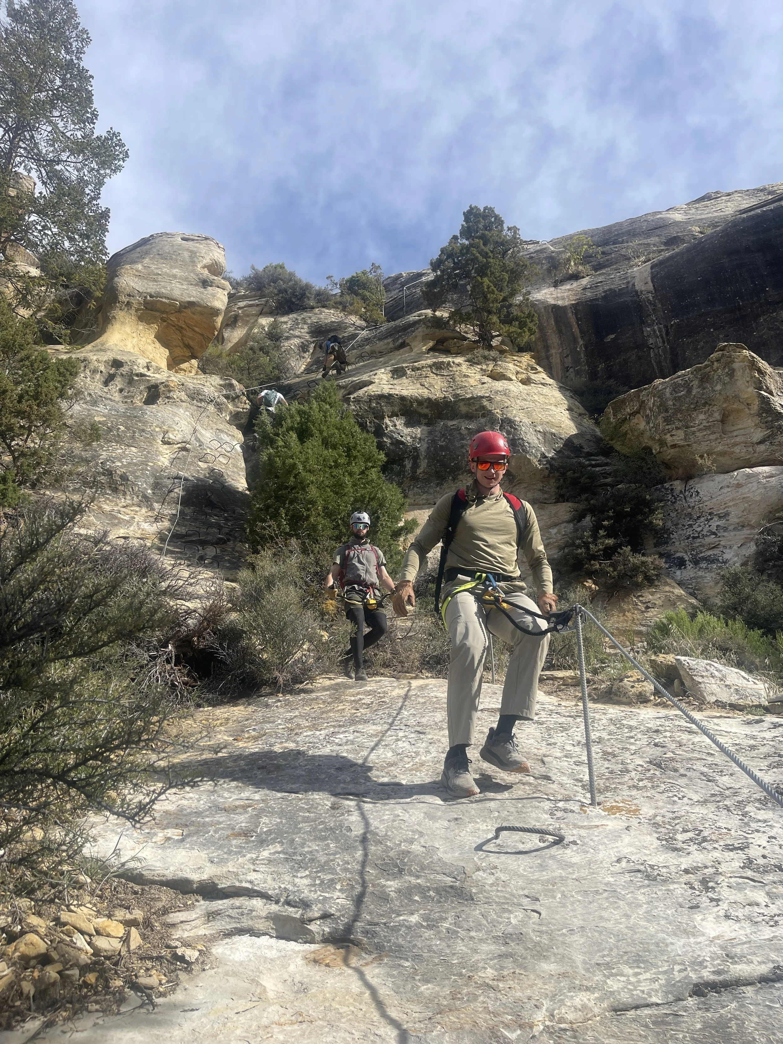
![Climber descending Lower Outlaw toward the bottom of Ashley Gorge.]()
2. Lower Outlaw
The lower continuation of Outlaw that completes the descent into the canyon and connects with Land Before Climb and nearby trails.
-
![Climbing the ladder between Lower Outlaw and The Pump at the Ashley Gorge Via Ferrata.]()
3. Land Before Climb
A transition sector and natural decision point between Lower Outlaw, The Pump, and the canyon-bottom trail system.
-
![Climber ascending the sustained fixed-cable route on The Pump in Ashley Gorge.]()
4. The Pump
A long, one-direction sector containing sustained climbing, difficult movement, and several of the original route’s primary crux features.
-
![Exposed arête climbing along the Thagomizer route near Vernal, Utah.]()
5. Thagomizer
Discover Thagomizer, a difficult connector featuring exposed arêtes, cable bridges, and chimney climbing between The Pump and The Soup.
-
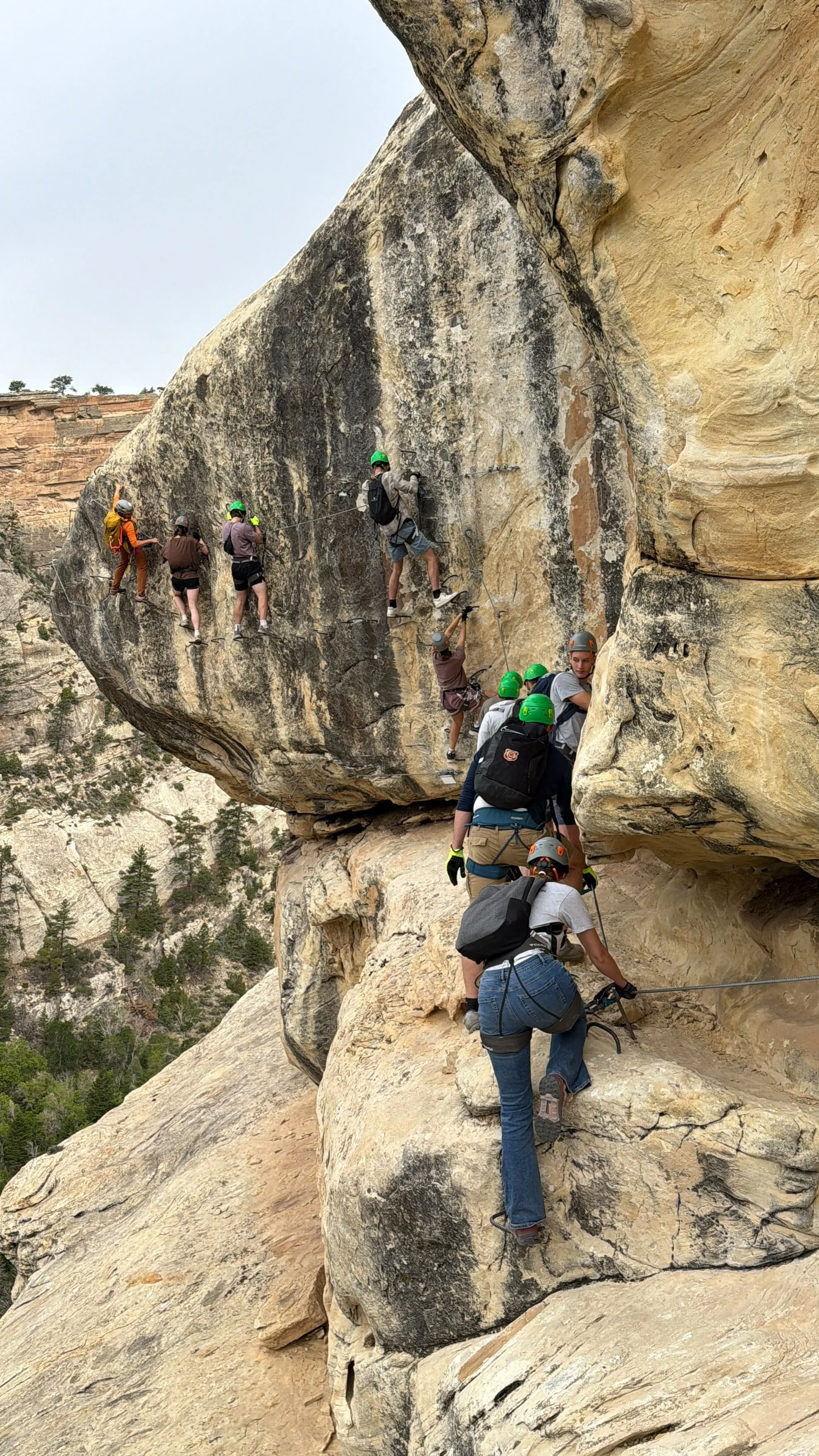
![Climber traversing the sandstone wall of The Soup sector in Ashley Gorge.]()
6. The Soup
A varied central sector featuring exposed canyon terrain, traverses, viewpoints, and the Dynomite Sky Bridge.
-
![Climbers overlooking Ashley Gorge from T-Rex Terrace near Vernal, Utah.]()
7. T-Rex Terrace
An exposed terrace and route junction providing canyon views and access to several Phase 2 climbing options.
-
![Climber ascending Toothy Grin Topout above Ashley Gorge.]()
8. Toothy Grin Topout
Use Toothy Grin Topout to connect T-Rex Terrace with the upper canyon trails and create shorter or alternate Ashley Gorge routes.
-
![Climber ascending the exposed Abduction exit from Ashley Gorge.]()
10. Abduction
The original primary exit from Ashley Gorge, climbing approximately 400 exposed feet from the canyon toward the Sunrise Trail.
-
![Climbers ascending the massive Jur-Ass-Kicked wall above Ashley Gorge.]()
11. Jur-Ass-Kicked
A sustained one-direction big-wall sector featuring approximately 700 feet of steep and highly exposed vertical climbing.
-
![Climber ascending the overhanging double-helix ladder on Exposure Therapy.]()
12. Exposure Therapy
The upper crux of Jur-Ass-Kicked, featuring a 75-foot overhanging double-helix ladder high above the canyon floor.
-
![Climbers reaching Jur-Ass-Kicked Summit above Ashley Gorge.]()
13. Jur-Ass-Kicked Summit
The final bidirectional summit sector connecting the Jur-Ass-Kicked wall with the upper canyon trail network.


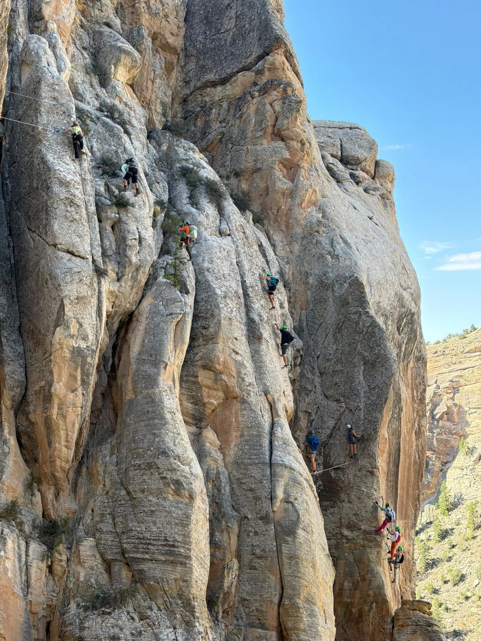
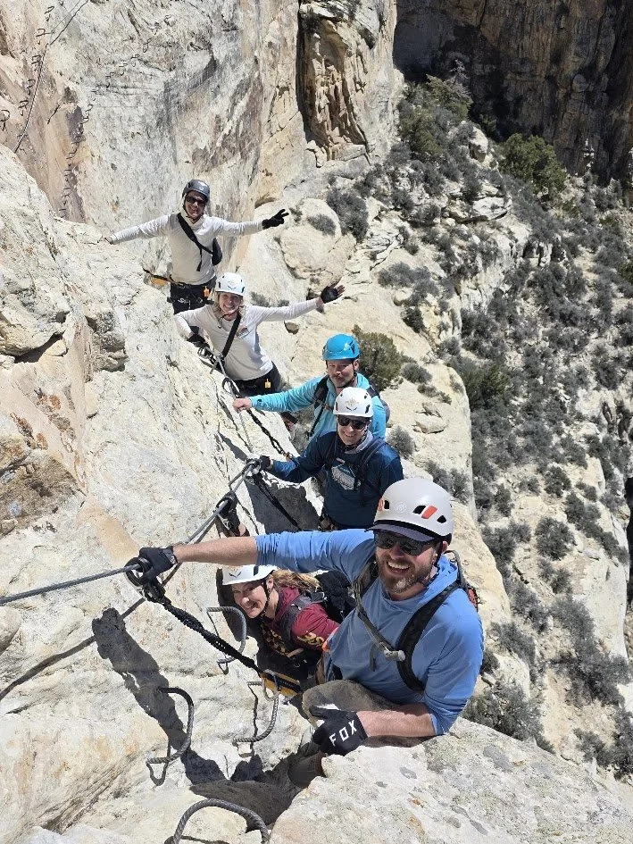
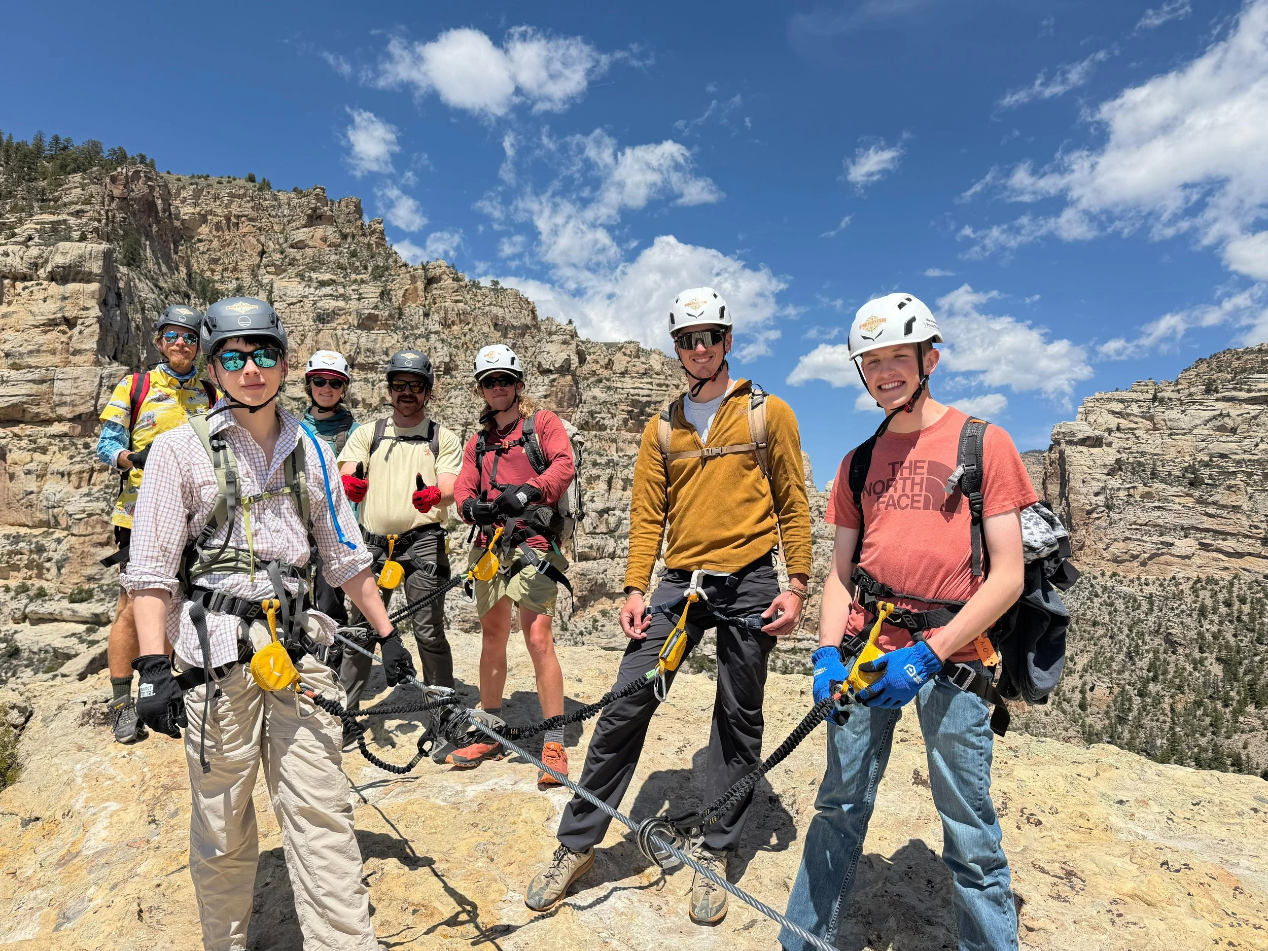

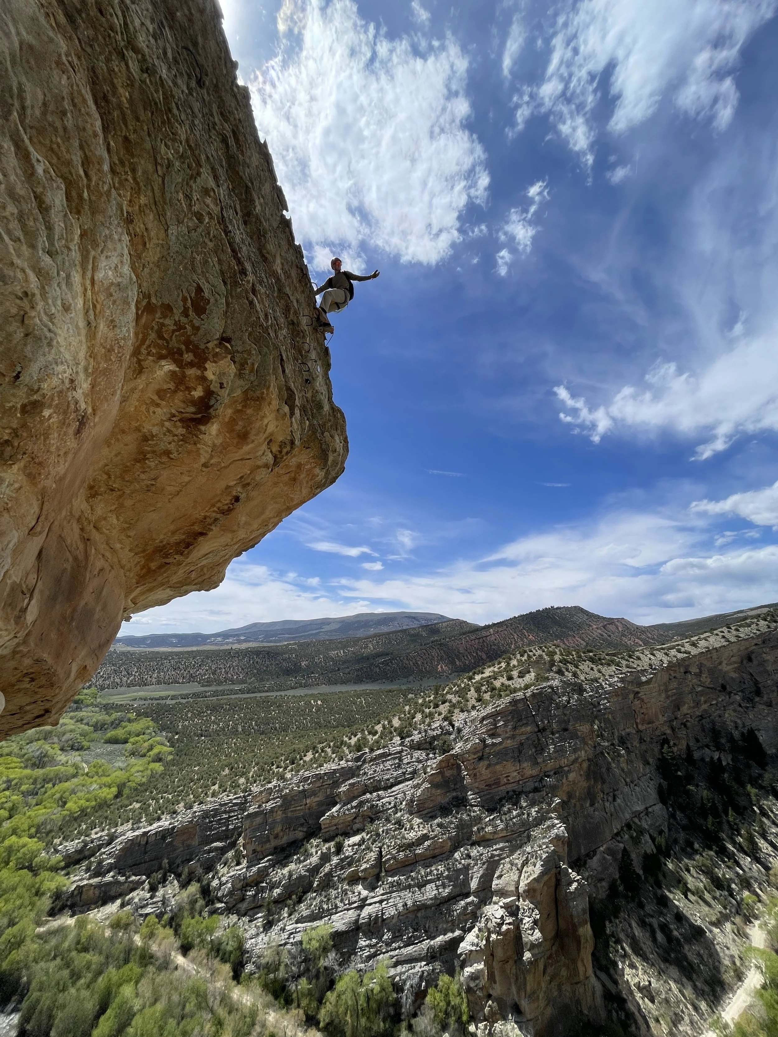


All Variations, Sectors, Trails, and Features
-
![Climber practicing carabiner transfers on the Ashley Gorge Via Ferrata Practice Area near Vernal, Utah.]()
PA. Practice Area
A short introductory section where climbers can practice using their equipment and moving through cable transitions before entering the main route.
-
![Via ferrata climber connected to the fixed cable while downclimbing Outlaw.]()
1. Outlaw
A bidirectional descent from the canyon rim into Ashley Gorge that serves as the primary entrance to the original route system.
-
![Climber descending Lower Outlaw toward the bottom of Ashley Gorge.]()
2. Lower Outlaw
The lower continuation of Outlaw that completes the descent into the canyon and connects with Land Before Climb and nearby trails.
-
![Climbing the ladder between Lower Outlaw and The Pump at the Ashley Gorge Via Ferrata.]()
3. Land Before Climb
A transition sector and natural decision point between Lower Outlaw, The Pump, and the canyon-bottom trail system.
-
![Climber ascending the sustained fixed-cable route on The Pump in Ashley Gorge.]()
4. The Pump
A long, one-direction sector containing sustained climbing, difficult movement, and several of the original route’s primary crux features.
-
![Exposed arête climbing along the Thagomizer route near Vernal, Utah.]()
5. Thagomizer
Discover Thagomizer, a difficult connector featuring exposed arêtes, cable bridges, and chimney climbing between The Pump and The Soup.
-
![Climber traversing the sandstone wall of The Soup sector in Ashley Gorge.]()
6. The Soup
A varied central sector featuring exposed canyon terrain, traverses, viewpoints, and the Dynomite Sky Bridge.
-
![Climbers overlooking Ashley Gorge from T-Rex Terrace near Vernal, Utah.]()
7. T-Rex Terrace
An exposed terrace and route junction providing canyon views and access to several Phase 2 climbing options.
-
![Climber ascending Toothy Grin Topout above Ashley Gorge.]()
8. Toothy Grin Topout
Use Toothy Grin Topout to connect T-Rex Terrace with the upper canyon trails and create shorter or alternate Ashley Gorge routes.
-
![Climber ascending the exposed Abduction exit from Ashley Gorge.]()
10. Abduction
The original primary exit from Ashley Gorge, climbing approximately 400 exposed feet from the canyon toward the Sunrise Trail.
-
![Climbers ascending the massive Jur-Ass-Kicked wall above Ashley Gorge.]()
11. Jur-Ass-Kicked
A sustained one-direction big-wall sector featuring approximately 700 feet of steep and highly exposed vertical climbing.
-
![Climber ascending the overhanging double-helix ladder on Exposure Therapy.]()
12. Exposure Therapy
The upper crux of Jur-Ass-Kicked, featuring a 75-foot overhanging double-helix ladder high above the canyon floor.
-
![Climbers reaching Jur-Ass-Kicked Summit above Ashley Gorge.]()
13. Jur-Ass-Kicked Summit
The final bidirectional summit sector connecting the Jur-Ass-Kicked wall with the upper canyon trail network.
-
![Climber navigating the difficult Bad Grammar feature on The Pump.]()
4.5 Bad Grammar
The original physical crux of The Pump and one of the most difficult features on the original route.
-
![Strong climber moving across the overhanging Syntax Error roof variation.]()
4.5C Syntax Error
A difficult and exposed roof variation intended for strong climbers seeking the hardest option through the Bad Grammar area.
-
![Climber entering The Pump through the Little Foot Ladder variation.]()
4.8A Little Foot Ladder
An alternate ladder entrance allowing climbers to join The Pump after bypassing its most difficult opening features.
-
![Overhanging variation on the lower Jur-Ass-Kicked wall.]()
11.8A Launch Sequence
An optional roof variation encountered during the lower portion of the Jur-Ass-Kicked big wall.
-
![Climber attempting the Space Man roof above Exposure Therapy. Exposed upper-wall variation at the top of the double-helix ladder.]()
12.2A Space Man
An optional exposed roof finish located at the top of the Exposure Therapy double-helix ladder.
-
![Climber moving through the narrow Womb Fight chimney on Jur-Ass-Kicked. Confined chimney climbing on the Womb Fight route variation.]()
12.3 Womb Fight
A difficult squeeze-chimney alternative that avoids much of the extreme exposure found on Exposure Therapy.
-
![Little Foot Ladder Trail following the terrain beneath The Pump. Climbers approaching Little Foot Ladder from the lower bypass trail.]()
T10. Little Foot Ladder Trail
A lower trail bypassing Shally’s Ladder and the Bad Grammar variations before entering The Pump through Little Foot Ladder.
-
![Climber crossing a suspended cable bridge on the Ashley Gorge Via Ferrata. Steel foot cables and hand cables spanning an exposed canyon gap.]()
Cable Bridge
A suspended crossing made primarily from tensioned cables that moves beneath the climber.
-
![Fixed bridge spanning an exposed section of the Ashley Gorge route. Climbers crossing a constructed bridge between sandstone walls.]()
Cable Bridges
A constructed crossing with a stable walking surface spanning a gap, drainage, or exposed section.
-
![Climber ascending a flexible cable ladder on the Ashley Gorge Via Ferrata. Suspended metal rungs and steel cables attached to a sandstone wall.]()
Cable Ladder
A flexible ladder supported by steel cables that may move or pull away from the rock while being climbed.
-
![Climber navigating a rotating twisted cable ladder in Ashley Gorge. Suspended ladder twisting between exposed sandstone walls.]()
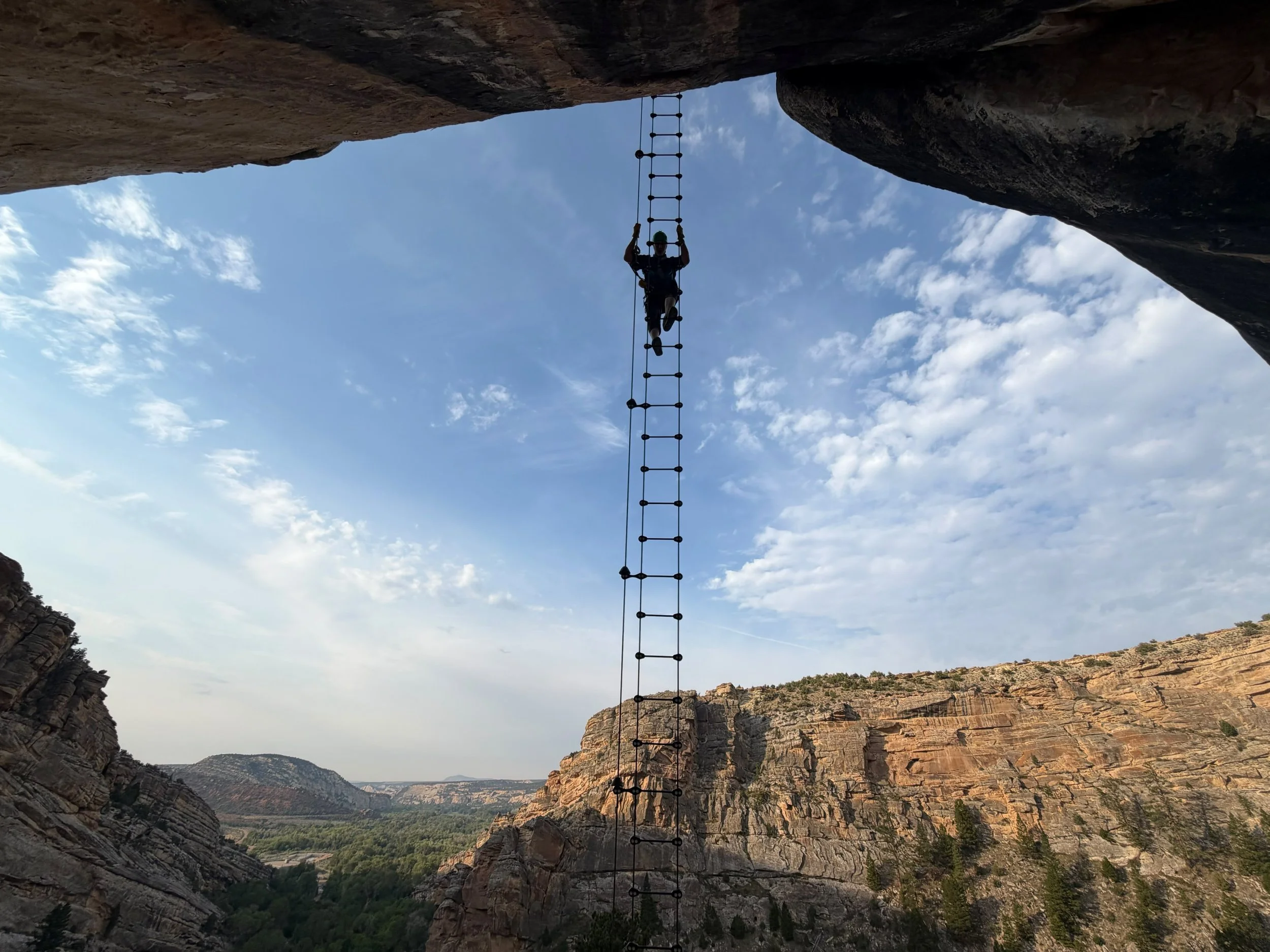
Twisted Cable Ladder
Prepare for twisted cable ladders that rotate and shift as climbers move through advanced Ashley Gorge route features.
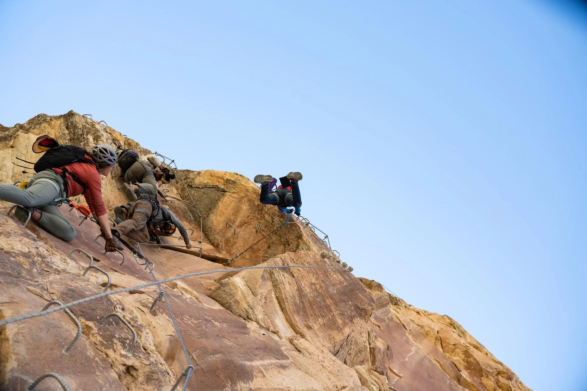
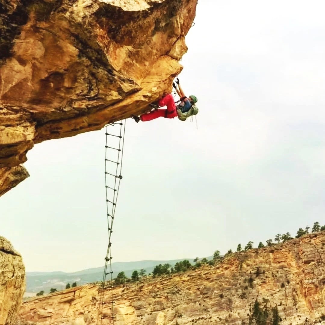
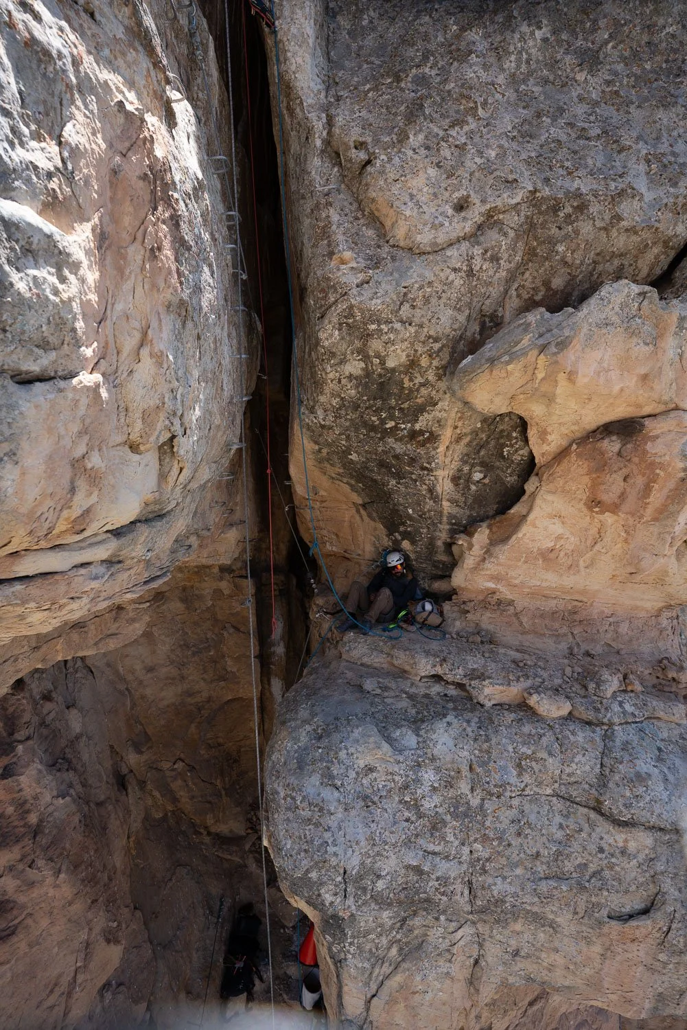

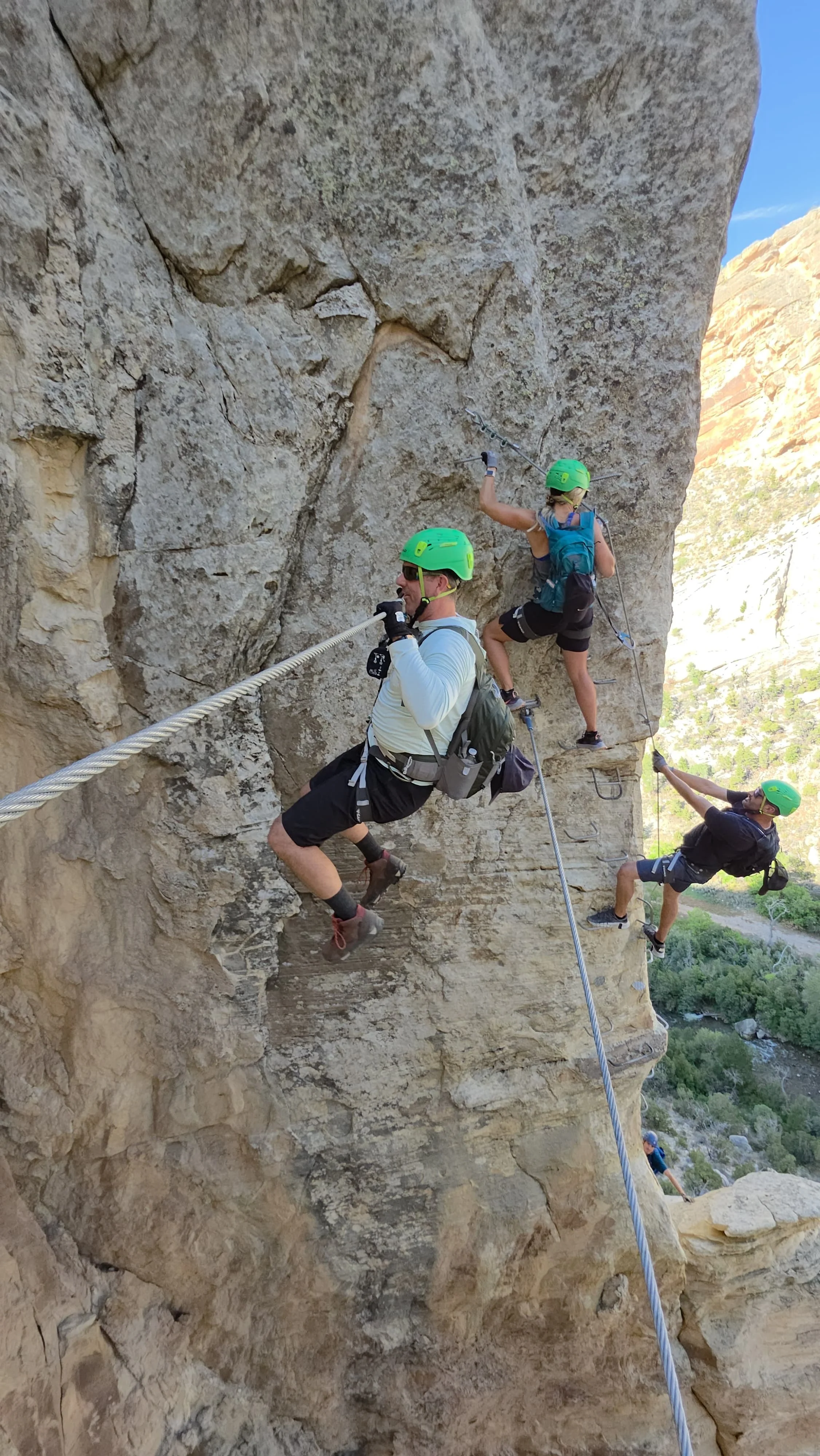


Want Local Help Exploring Ashley Gorge?
Book a guided trip with Dyno Outfitters or stop by our Vernal shop for certified via ferrata equipment and local route information.
-
Explore the Ashley Gorge Via Ferrata with an experienced local guide. Guided trips are tailored to your group’s ability, goals, and comfort level, with support for route planning, equipment use, safety, and movement throughout the canyon.
-
Rent the certified equipment required to climb the Ashley Gorge Via Ferrata safely. Rental packages include a helmet, harness, and via ferrata lanyard, with local pickup available in Vernal before your climb.
-
Review route information, safety requirements, access details, and what to expect before visiting Ashley Gorge. Plan your day with current guidance on sectors, trails, equipment, weather, and climbing options.